MAPS


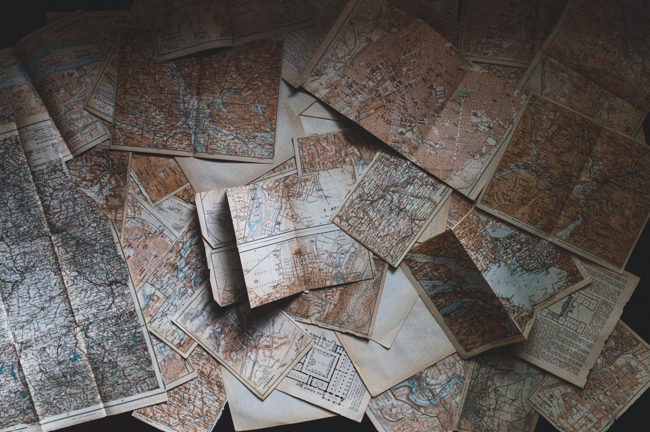
Maps serve many purposes. They represent physical geographies, recording landmarks, routes, and boundaries. They also reflect varying perceptions, imaginations, values, and aspirations. Browse our collection of historic maps and other cultural resources designed to help preserve and share Utah’s past. 
Image

Ultrices posuere cubilia curae; Ut sed tempor mauris, eget ultrices turpis ornare nulla.

Image

Ultrices posuere cubilia curae; Ut sed tempor mauris, eget ultrices turpis ornare nulla.

Image
>

VETERAN MEMORIALS

Find the locations of ~265 memorial sites dedicated to more than 20 wars, conflicts, and attacks. 
Image
>

NATIONAL LANDMARKS

Browse an interactive story map of the National Historic Landmarks located in Utah.
Image
>

WORLD WAR I

A brief history of how WWI impacted our state, including the 24,000 Utah men who enlisted and the 80 registered nurses. 

An image, taken in the mid-20th century, of a young boy playing with an old radio, while wearing big headphones.

Utah Drawn

An exhibition of rare maps displayed in the Utah State Capitol in 2017.


VIEW

Search Our Historic Maps

A collection ranging from maps of movie locations in Utah to details of the Transcontinental Railroad. 

BROWSE
A painting of one of Utah's many natural rock arches, over a stream of water.

Ultrices posuere cubilia curae; Ut sed tempor mauris, eget ultrices turpis ornare nulla.


Image

Utah Drawn

An exhibition of rare maps displayed in the Utah State Capitol in 2017.

VIEW
Image

Search Our Historic Maps

A collection ranging from maps of movie locations in Utah to details of the Transcontinental Railroad. 

BROWSE