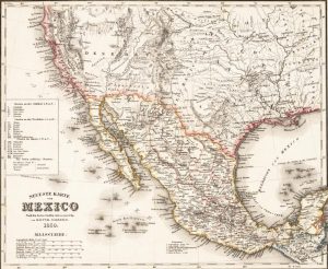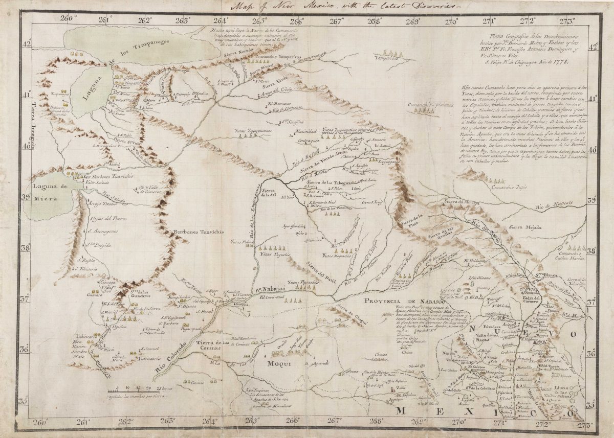
View a small collection of rare historical maps depicting the region that became the state of Utah from its earliest imaginings by European cartographers through the historical process that produced the modern state’s boundaries. For details, an an online exhibit previewing these maps..